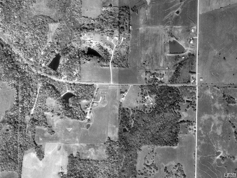
Maps and aerial photographs of the farm:
Close-up aerial
Lower-resolution aerial
Topo map
Aerial photographs from 1993 obtained from
Microsoft TerraServer
.